Access to environmental data from the Faroe Islands via ENVOFAR
Environmental data from the Faroese area, marine as well as terrestrial, are available in ENVOFAR
ENVOFAR is a collaboration between the Faroese institutions: Aquaculture Research Station of the Faroes, Environment Agency and Faroe Marine Research Institute.
The Faroe Islands are located on the southern boundary of the European Arctic and on a major gateway towards the Arctic. More than 75% of all the waters reaching the Arctic pass by the Faroes and the atmosphere also has a major transport route towards the Arctic in this region.
Environmental data from the Faroese area, marine as well as terrestrial, are therefore of large interest to both the scientific community and to organizations involved in environmental monitoring and assessment. In order to provide a more direct and user-friendly access to the environmental data gathered in the region, three Faroese institutions, involved in this activity, maintain ENVOFAR.
Visit ENVOFAR here
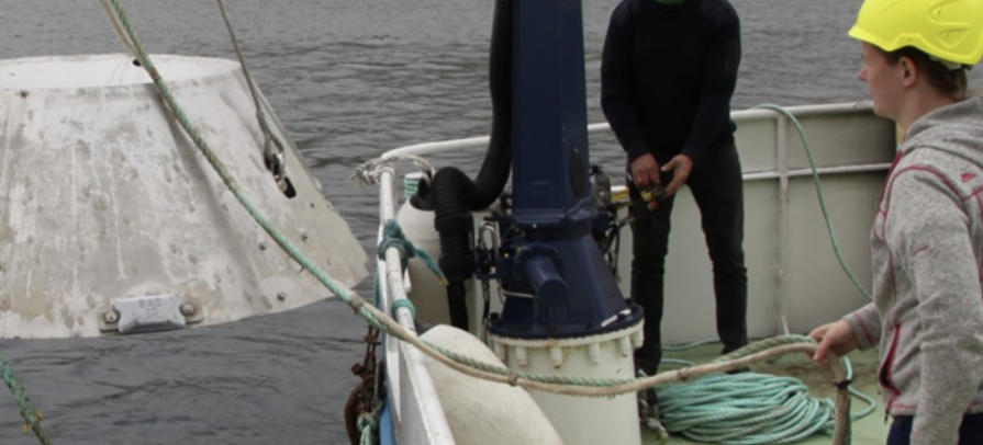
Picture: Fiskaaling